

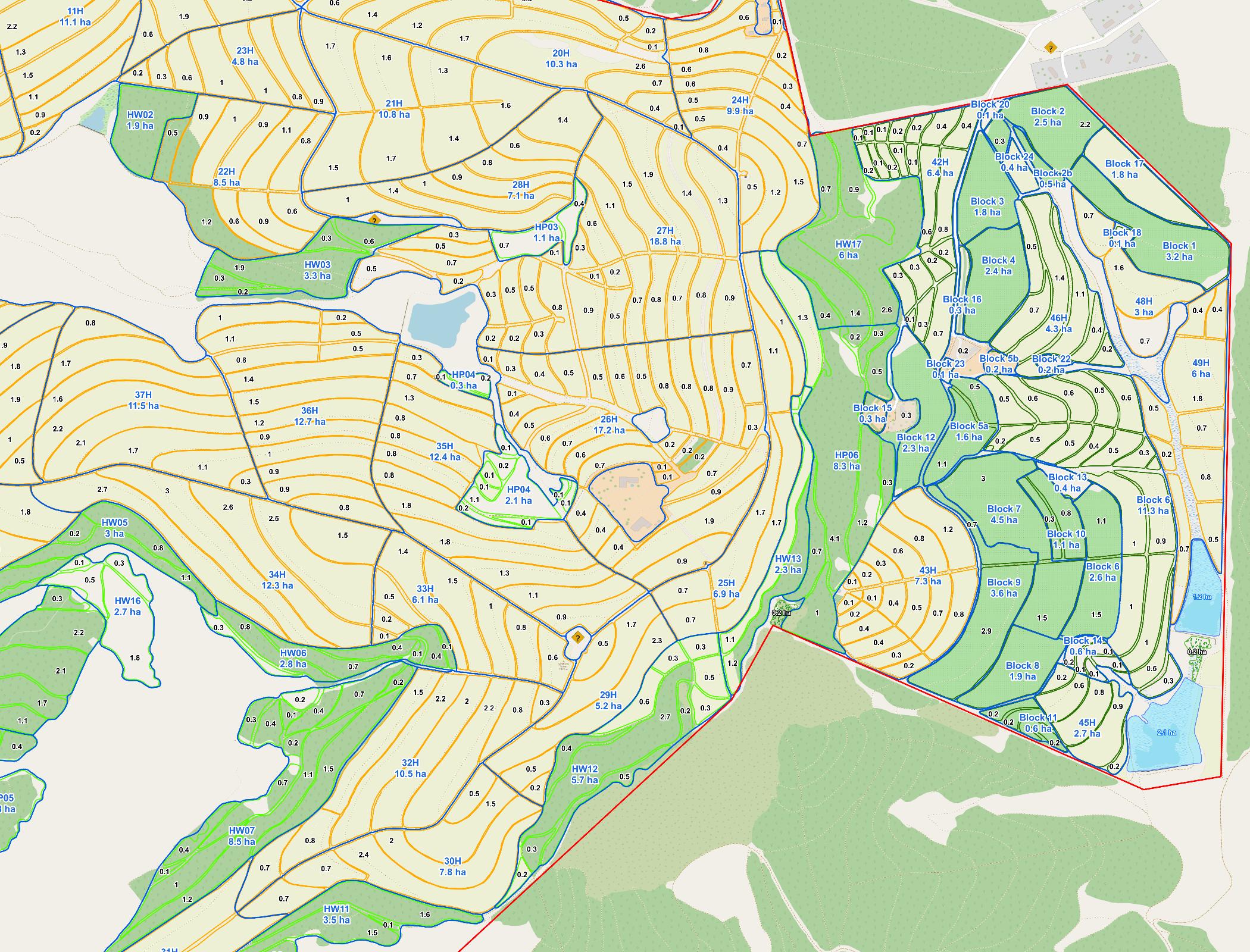
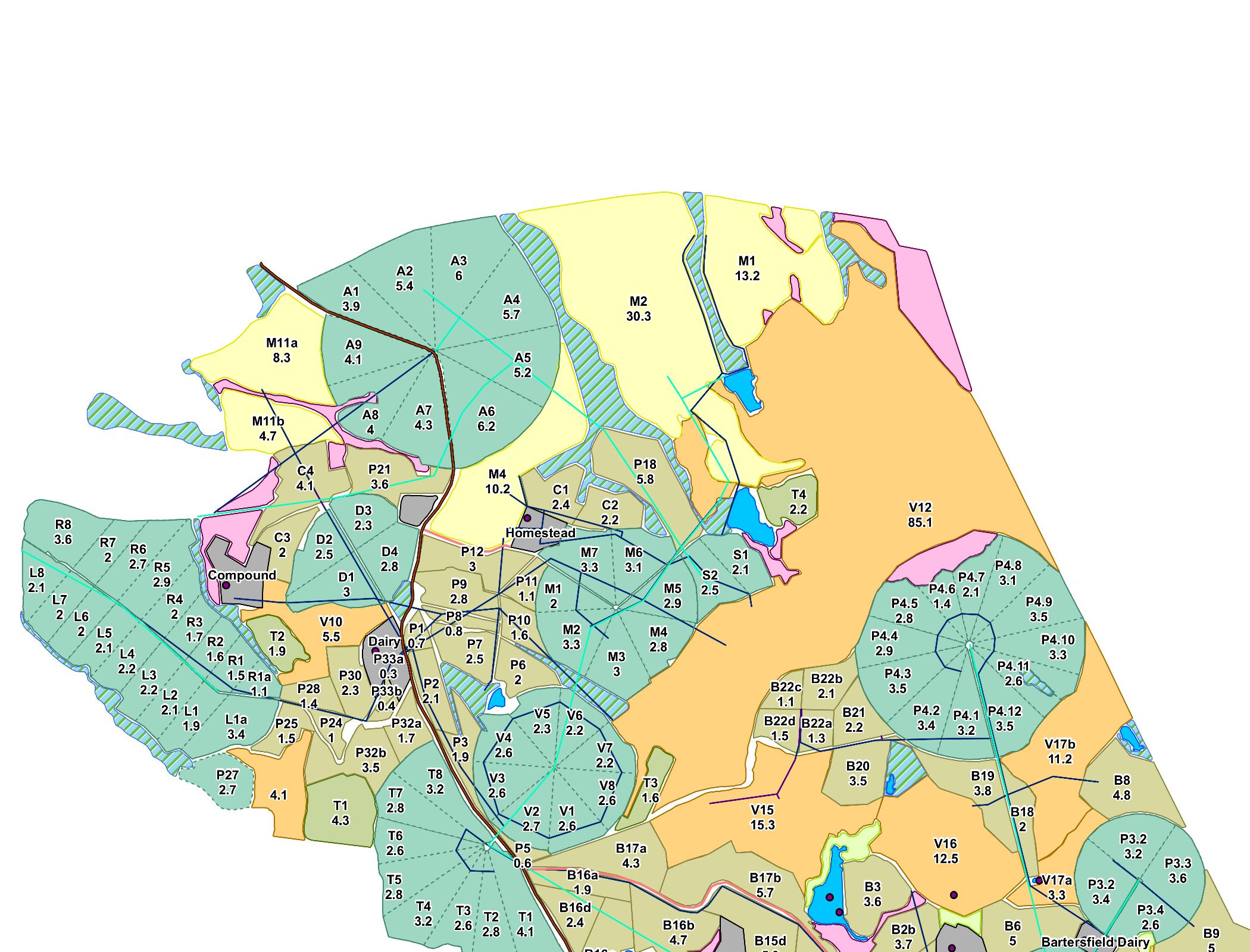

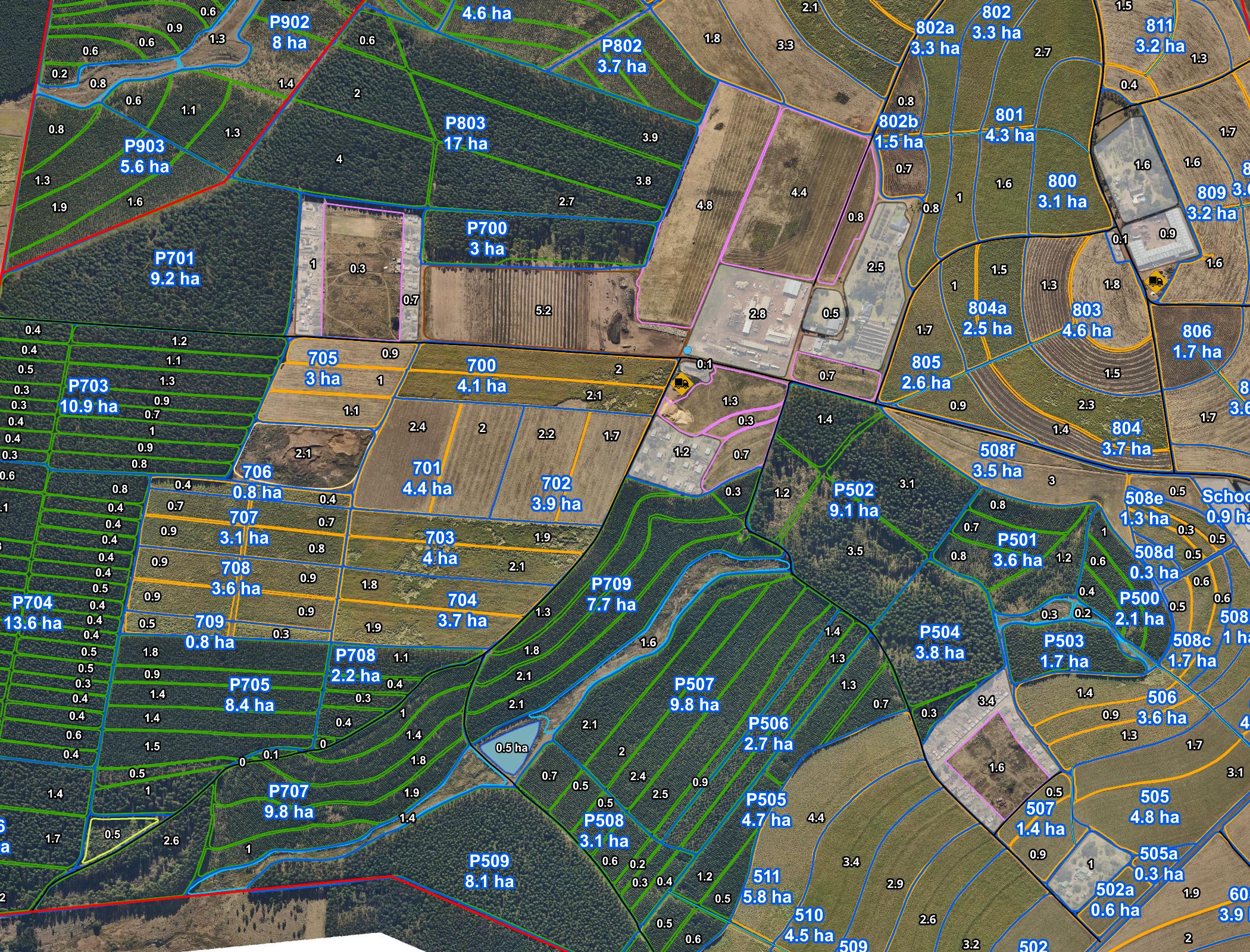

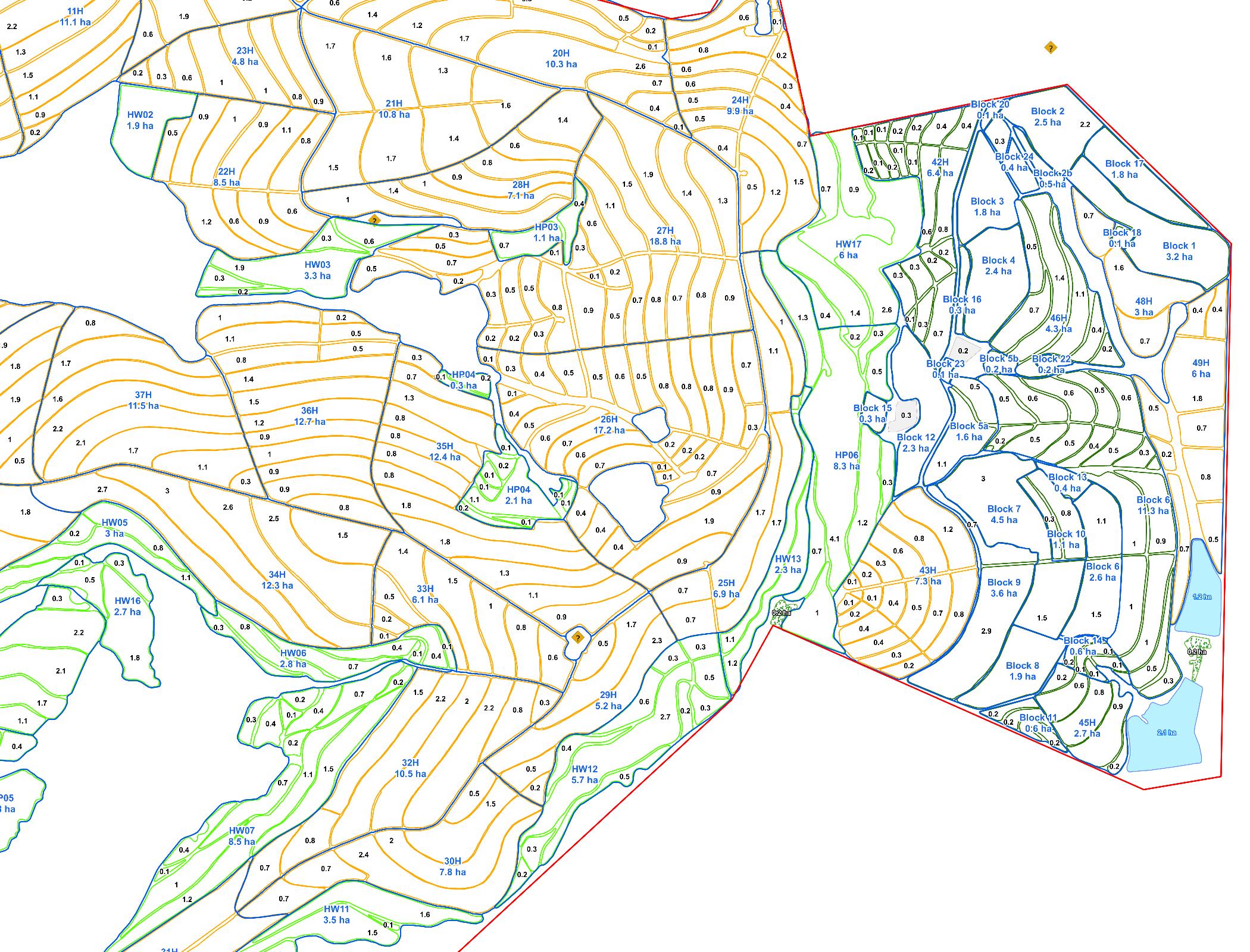
The accuracy and detail of our new farm map have completely transformed how we manage our land. We can now plan field rotations, track drainage, and manage infrastructure with confidence. The entire process was seamless, and the team was incredibly helpful from start to finish.
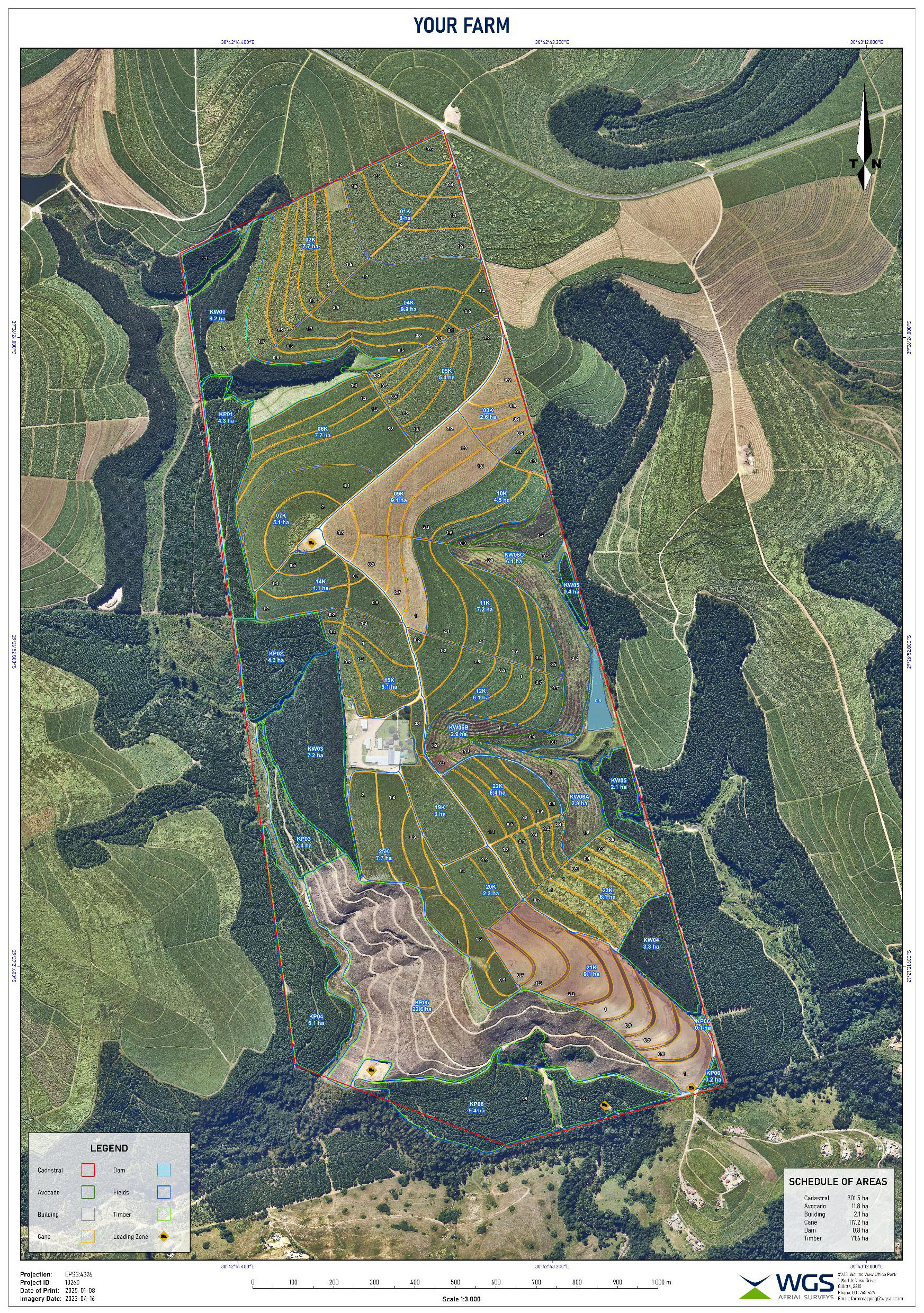
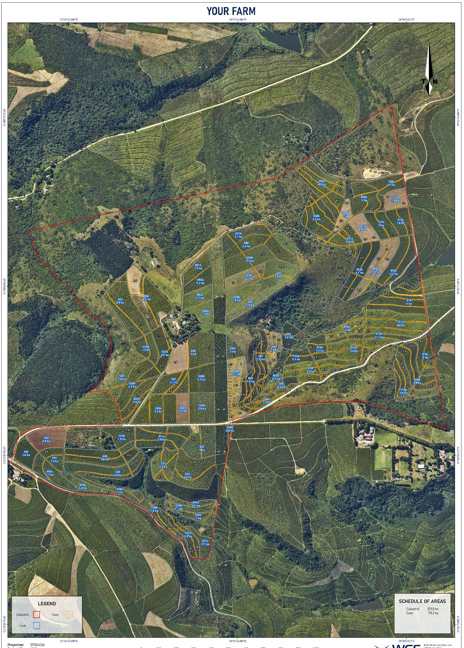
Our printed farm map is now the centerpiece of our farm office. It’s not just a tool but a daily reference for planning and decision-making. The attention to detail and the ability to customize it to our exact specifications made all the difference. Highly recommended!
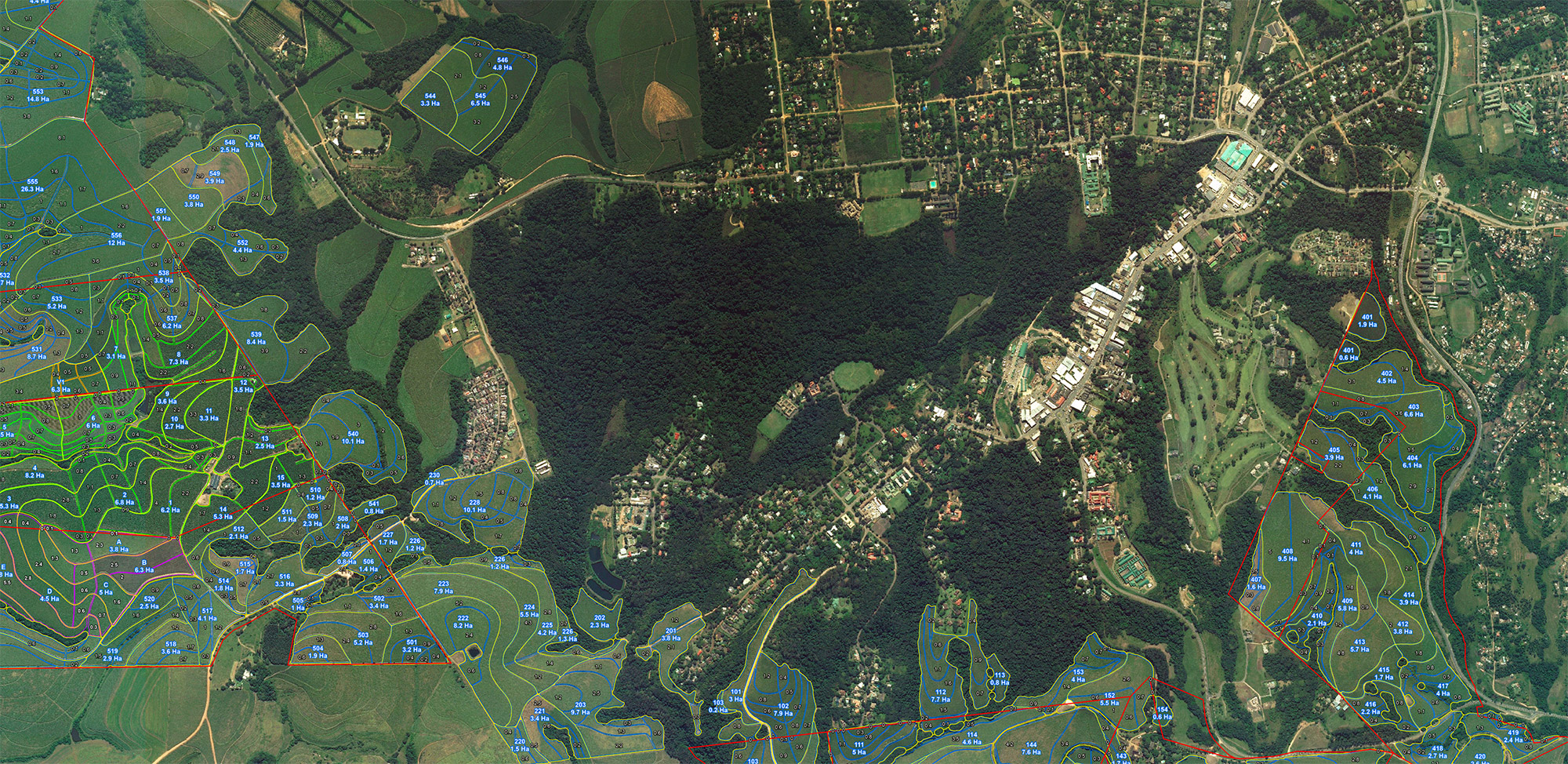
We had our own drone imagery, and the team worked with it to create a stunning, feature-rich map of our entire farm. The data clarity has improved our crop planning and water management significantly. Plus, the digital version works perfectly on our mobile devices for use in the field.
After receiving our digital farm map, we immediately saw the value in having such a precise, up-to-date visual tool. From mapping fields to marking critical infrastructure, everything was delivered to perfection. The hard copy print looks amazing in our farm office too!
